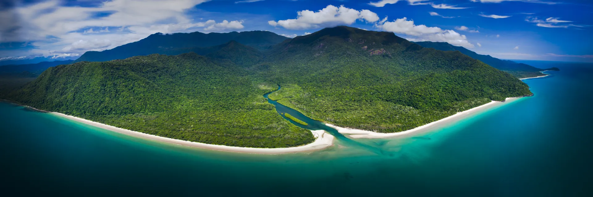
Cape Kimberley
Six years of transformation in the Wet Tropics. From degraded sugarcane land to integrated natural-productive ecosystem.
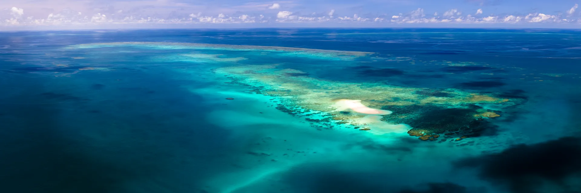
Where rainforest meets reef
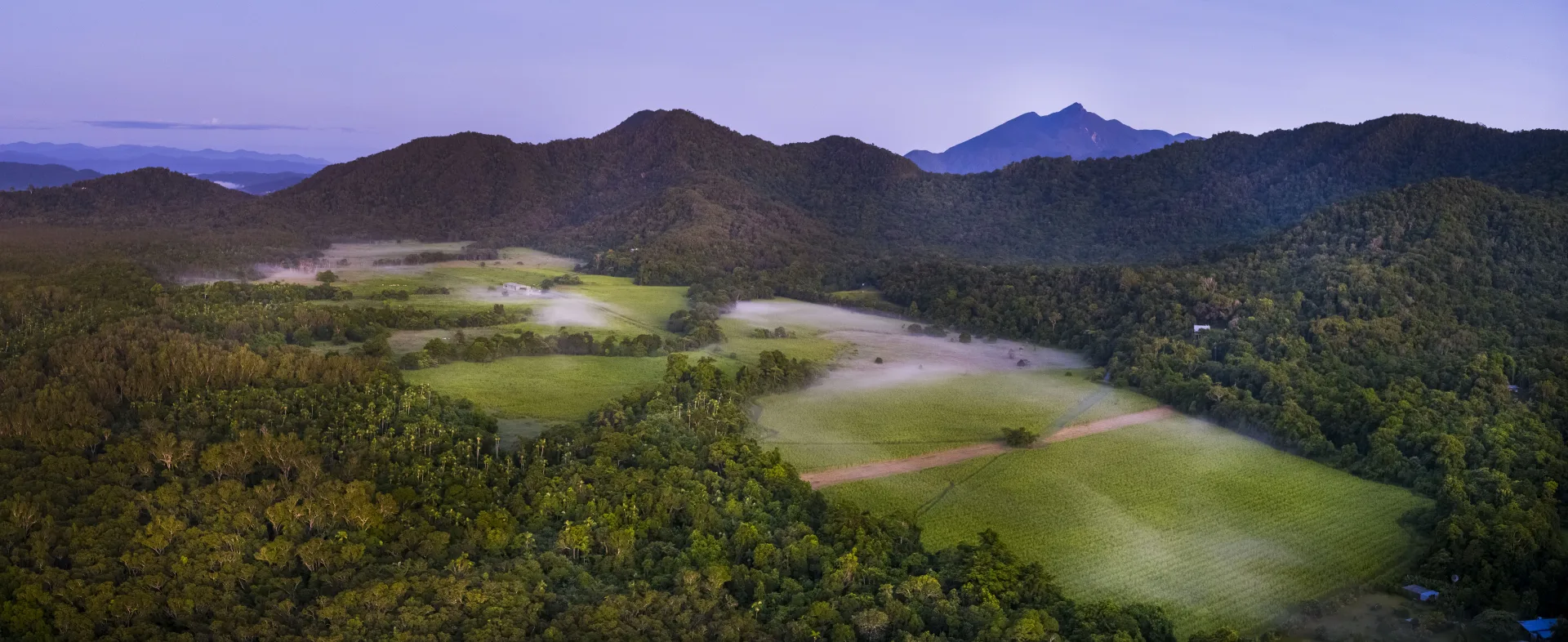
Cape Kimberley sits at the junction of the Daintree River and the Coral Sea, within the UNESCO World Heritage listed Wet Tropics. The property had been cleared for sugarcane production, fragmenting habitat in one of Australia's most biodiverse regions.
In 2019, The ClimateForce began a systematic transformation—not just restoring native vegetation, but creating an integrated operation that demonstrates how ecological, infrastructure, and livelihood outcomes can compound together.
This isn't a conservation project that excludes productive use. It's a demonstration that restoration and production can be integrated— each supporting the other.
Biological Outcomes
Habitat Connectivity
Corridors established linking fragmented Wet Tropics habitats, enabling cassowary and other species movement across the landscape.
Native Species Establishment
180+ native species planted with local provenance verification, ensuring genetic compatibility with surrounding ecosystems.
Carbon Measurement
Baseline carbon measurements established using verified protocols. Real measurement, not estimation or modeling.
Soil Regeneration
Former sugarcane land transitioning to healthy soil through regenerative practices and organic matter accumulation.
Infrastructure Outcomes
Water Systems
50,000L capture capacity with solar-powered distribution for both irrigation and habitat support.
Processing Facilities
On-site capability for native and exotic food processing, from harvest to market-ready product.
Access Networks
All-weather access maintained for management activities while minimizing ecological disruption.
Monitoring Infrastructure
Permanent plots and monitoring stations for ongoing data collection and model validation.
Livelihood Outcomes
Volunteer Programs
500+ volunteers engaged in planting, monitoring, and research activities over six years of continuous operation.
Skills Transfer
Hands-on training in regenerative land management, species identification, and scientific data collection.
Local Employment
Ongoing operational roles created for property management, research support, and community liaison.
Knowledge Exchange
Partnerships with 14 neighboring properties sharing learnings, resources, and coordinated management.
What has worked
Six years of iteration. Some approaches have proven reliable, others are still advancing.
Natural Capital Restoration
Transitioning degraded sugarcane land to productive native ecosystems while measuring carbon sequestration with verified protocols.
Integrated Food Systems
Combining native bush tucker species with productive exotics. 50+ varieties under trial with identified processing and market pathways.
Community Engagement
Volunteer programs that create meaningful connection to land while building practical skills and advancing restoration goals.
Six years of progress
Initial site assessment and baseline measurements established
First native plantings and water infrastructure installation
Volunteer programs launched, 100+ participants in first year
Processing facilities completed, first bush tucker harvests
Carbon measurement protocols verified, partner network expanded to 14 properties
Digital twin platform development, methodology documentation
Platform launch, scaling to Douglas Shire regional aggregation
Explore the digital twin
Dive into the data. See the calculations. Understand how each pillar contributes to the whole. Every number is traceable.