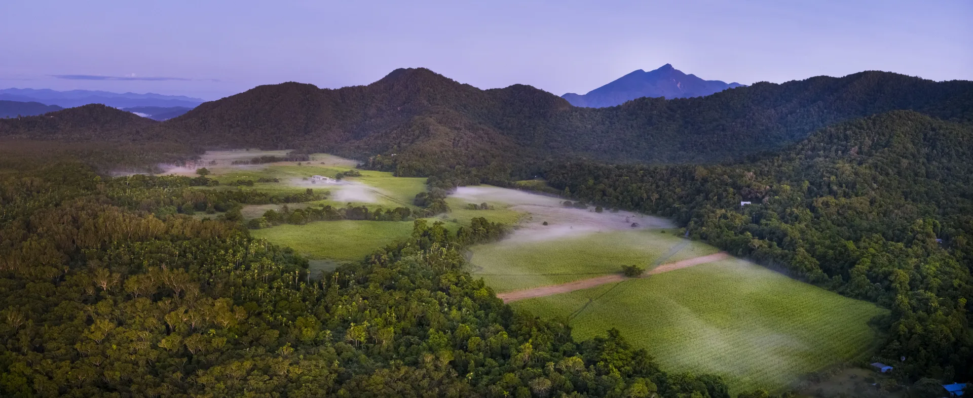
Aerial view of Cape Kimberley — paddock and canopy at the edge of the Daintree

A property · Cape Kimberley · Daintree, Far North Queensland

From banana country to four working systems.

Cape Kimberley sits where the Daintree River meets the Coral Sea — 124 hectares, four lots, formerly bananas. Now it carries cacao under productive canopy, native rainforest returning, silvopasture, and medicinal cropping. Mixed-methodology regenerative agriculture, paddock by paddock, on land the team walks every week.

The polygon · 207.0 ha

Cape Kimberley boundary as Land IP reads it — every hectare on the books.

The land, today

124 ha under regenerative methodology · canopy returning across roughly 31% of it

Bananas came off. Productive perennial trees and native canopy go in. Soil rebuilds. Year by year, paddock by paddock, the land remembers what it was before the plantation years. Four lots, four methodologies, one regional question answered honestly: what does the country want to grow next?

What's growing here

Four systems, not one

  • Silvopasture·Native timber (30 ha CF + 20 ha Lot 89)
    14 ha
  • Agroforestry·Cacao (20 ha CF)
    42 ha
  • Cropping·Turmeric
    1 ha
  • Native Regeneration·70 ha restoration
    37 ha

Cacao and durian where it makes sense. Native canopy where it asks for it. Pasture and timber where they fit. Cropping in the rows.

Where it sits

At the edge of the Daintree

Cape Kimberley shares its eastern edge with one of the oldest rainforests on Earth — Daintree country, returned to Eastern Kuku Yalanji custodianship in 2022. The land here doesn't end at our boundary; it joins something larger.

What it can hold

Slope, water, and where each system belongs

Not every hectare is flat or dry. The ridges are steep. The creeks are real and need their buffers. The productive systems go where the land is willing. Native regeneration takes the rest. The land tells us where; we listen.

Cape Kimberley is the proving ground. We work the land first, and tell its story honestly.